Telephone: 03300273230
Email: [email protected]

How We Can Help
Need Accurate Topographical Surveys?
Planning a New Development?
Need Detailed Site Levels and Contours?
Preparing Land for Planning Permission?
Need Accurate Ground Level Measurements?
Planning a Garden or Landscape Design?
Need Surveys for a Driveway or Car Park?
Unsure About Your Land Levels and Boundaries?
Require High-Precision 3D Laser Scanning?
Topographical Surveys
Know Your Land. Plan with Confidence.
Accurate Site Measurements. Detailed Survey Data. Better Decisions.
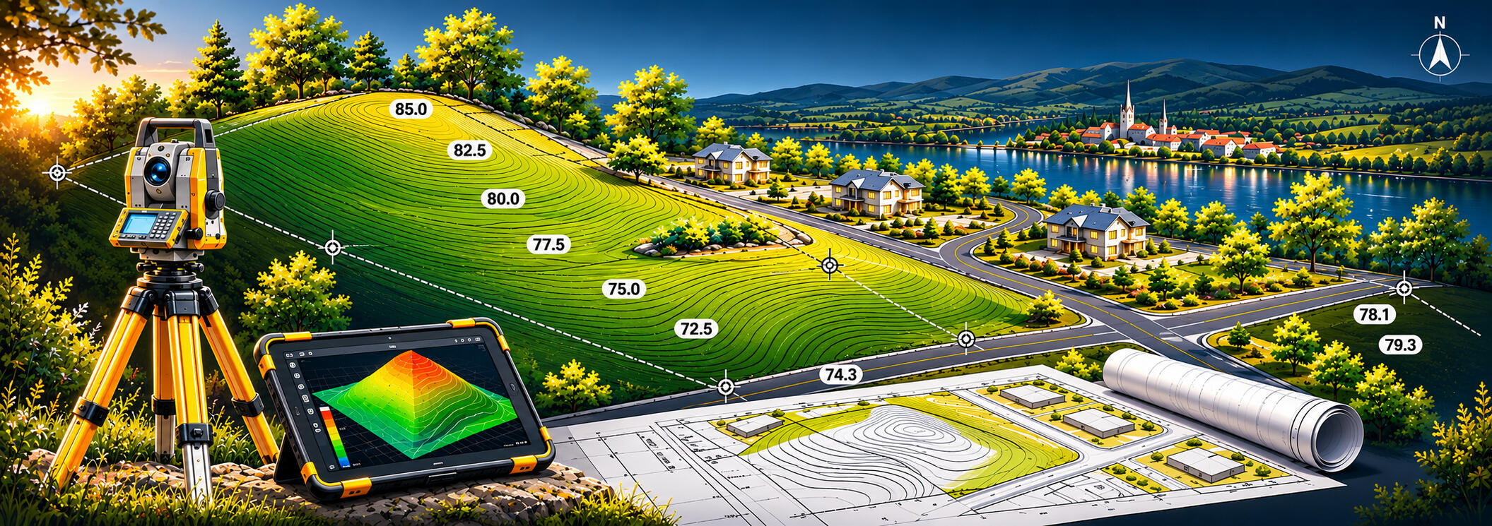
Detailed Topographical Surveys Across All Land Types
Accurate Data for Better Design and Planning.
Residential Land Surveys
Garden Surveys
Development Site Surveys
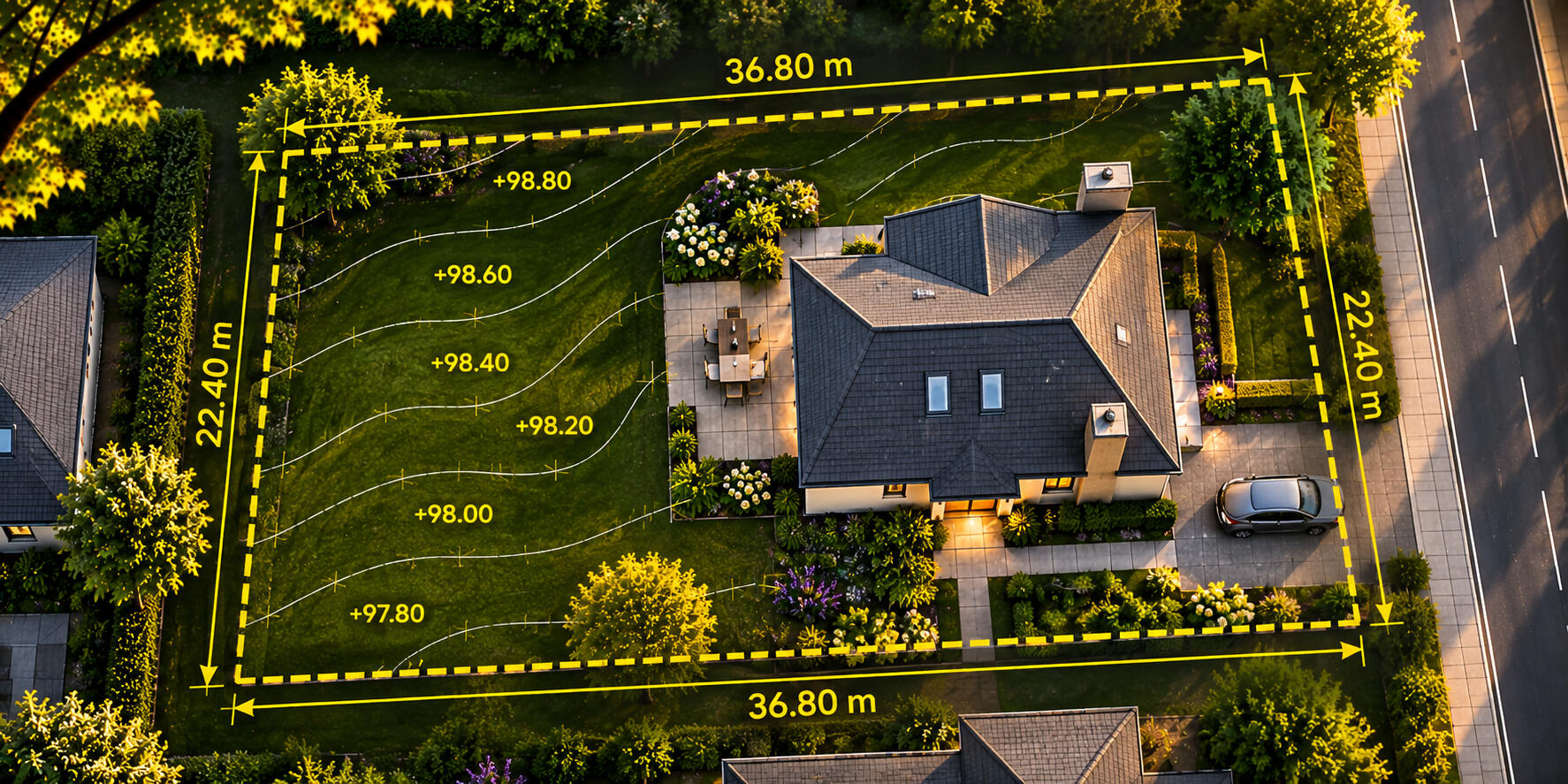
Arrange detailed topographical surveys of residential properties, capturing ground levels, site dimensions, building positions, boundaries and external features. Obtain accurate drawings to support property extensions, landscaping, renovations and future development plans.
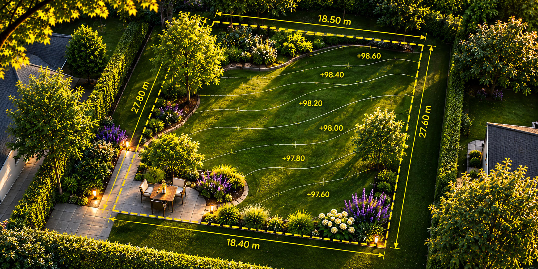
Plan your outdoor space with accurate garden surveys, recording ground levels, slopes, dimensions, trees, pathways and existing landscape features. Receive detailed drawings to support garden redesigns, landscaping proposals and outdoor improvement projects.
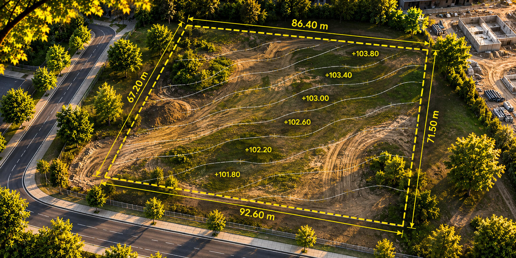
Support development projects with accurate topographical surveys, recording ground levels, terrain changes, structures, vegetation and site features. Receive detailed drawings for planning applications, architectural designs and future development works.
Site Levels Surveys
Contour Surveys
Building Plot Surveys
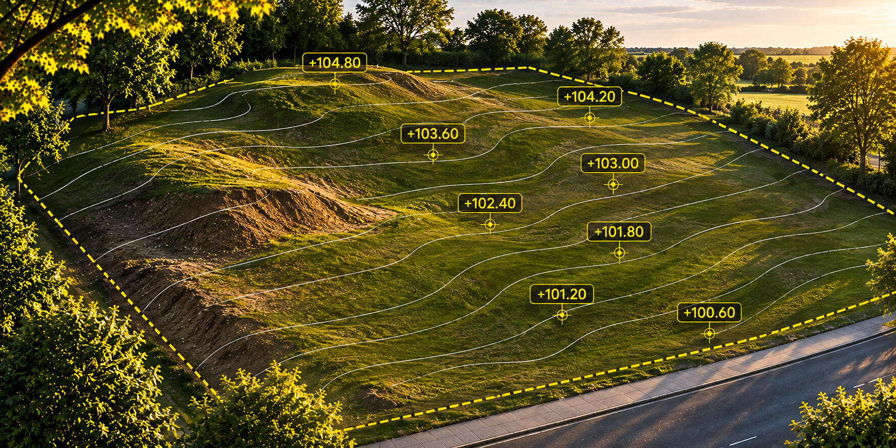
Establish accurate ground levels across your site with detailed measurements of elevations, slopes, gradients and changes in terrain. Use reliable level information to support drainage design, groundworks, site preparation and construction planning.
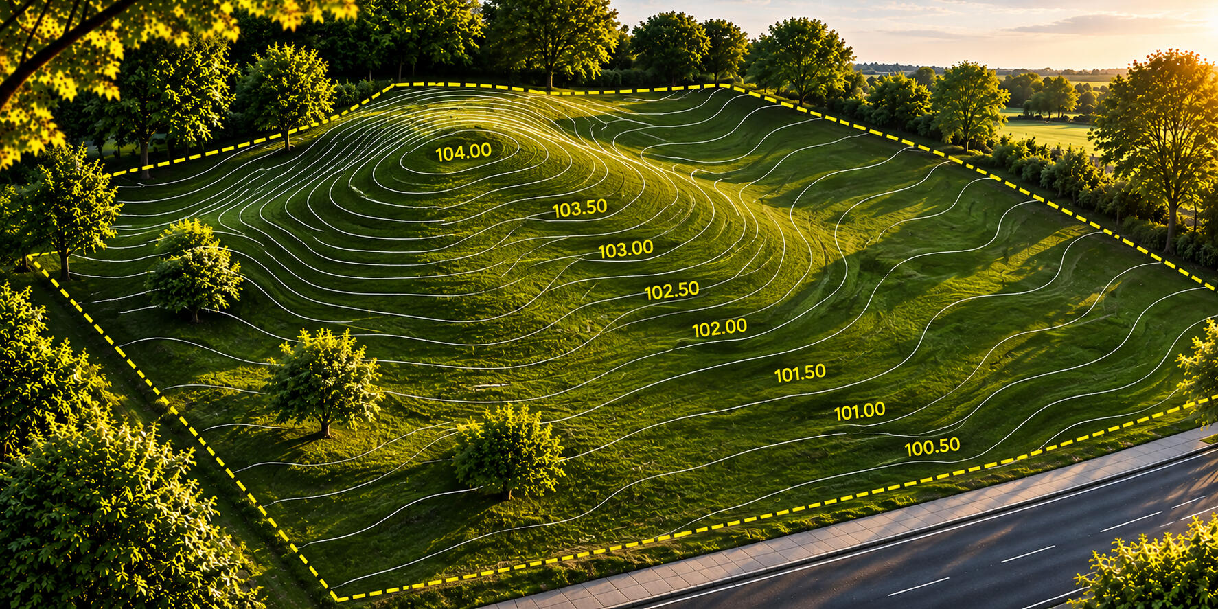
Understand the shape and elevation of your land through detailed contour mapping, showing changes in ground height, gradients and natural terrain features. Obtain precise contour plans for landscape design, engineering proposals and development planning.
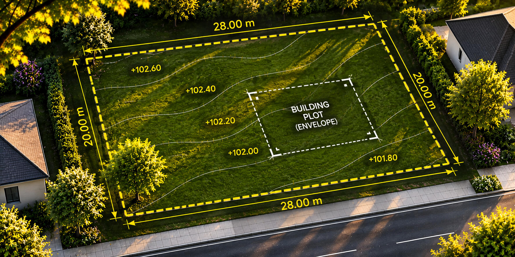
Prepare your proposed building site with accurate topographical measurements, recording plot dimensions, ground levels, existing features, access points and surrounding structures. Secure detailed drawings to assist with architectural design and planning applications.
Driveway Surveys
Car Park Surveys
Point Cloud Surveys
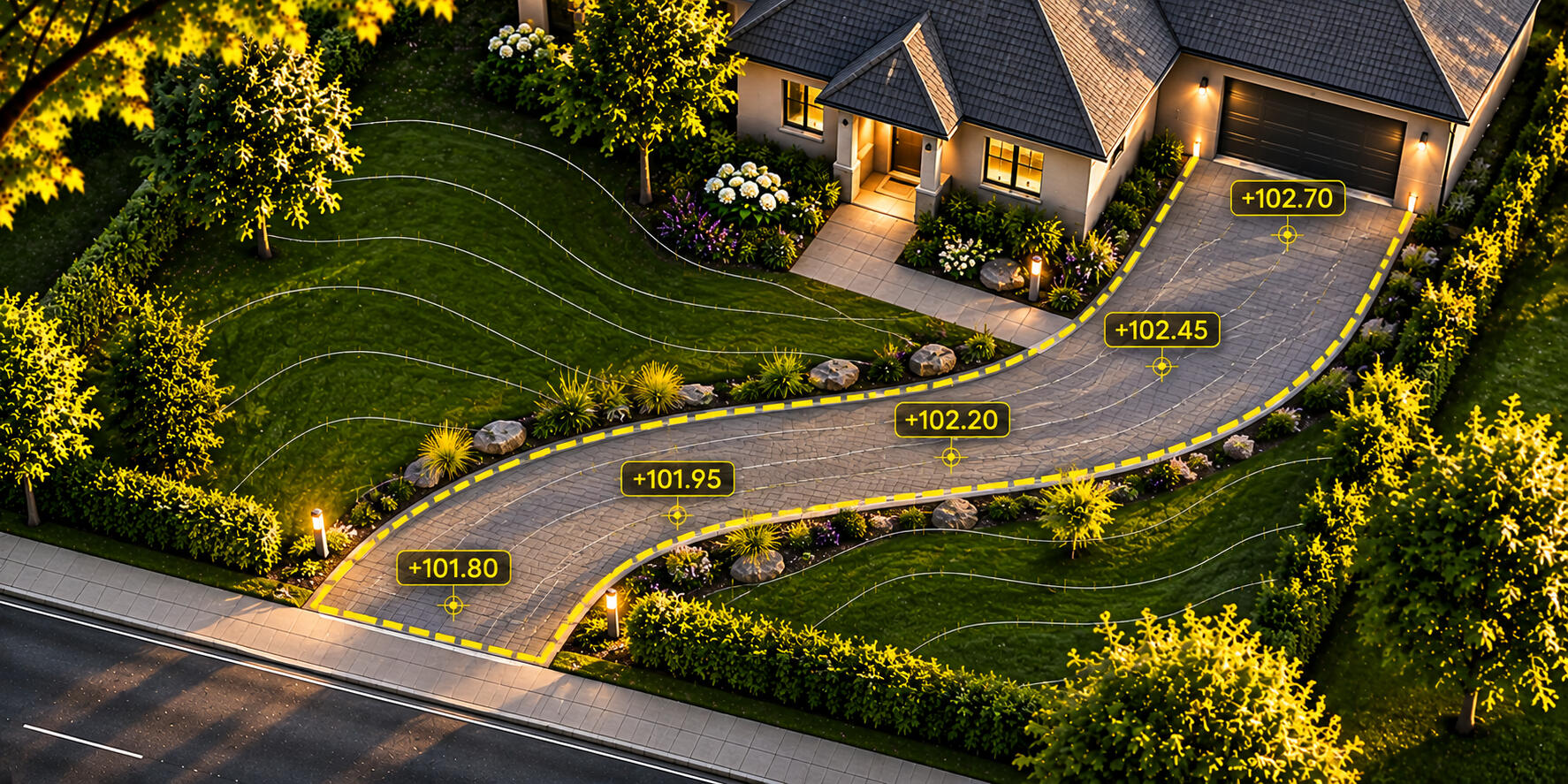
Get precise measurements of driveway areas, including ground levels, gradients, access points, existing surfaces and surrounding features. Use accurate survey drawings to plan new driveways, improve vehicle access and develop effective drainage solutions.
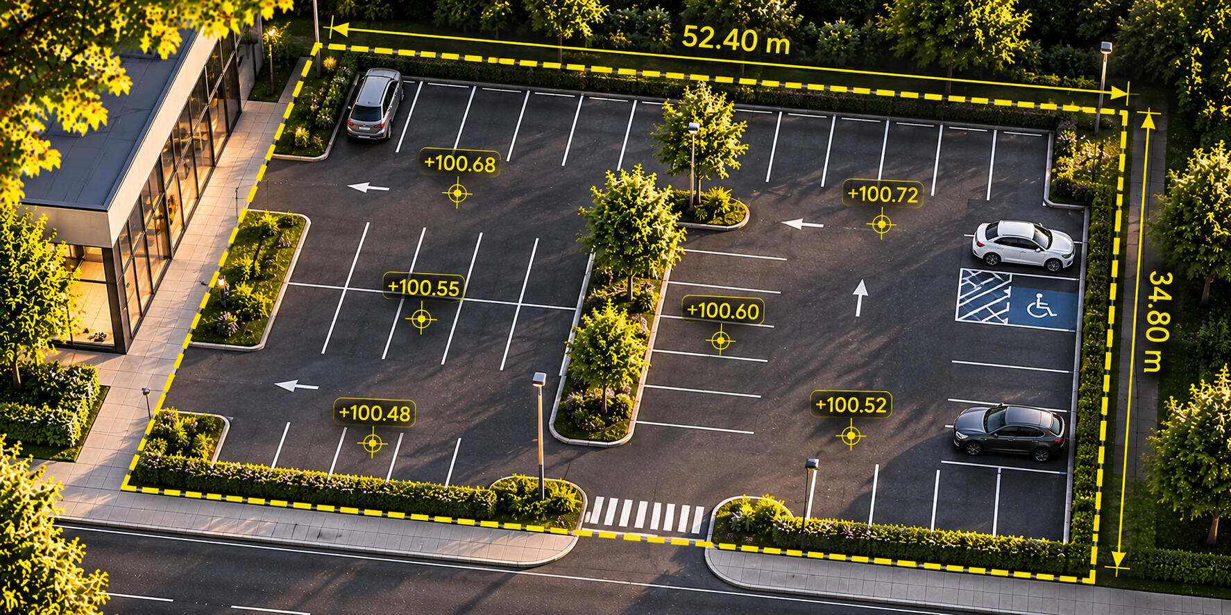
Evaluate your parking area with accurate topographical surveys, recording layouts, ground levels, slopes, access routes, kerbs and drainage features. Receive detailed drawings to support car park design, resurfacing, improvements and redevelopment.
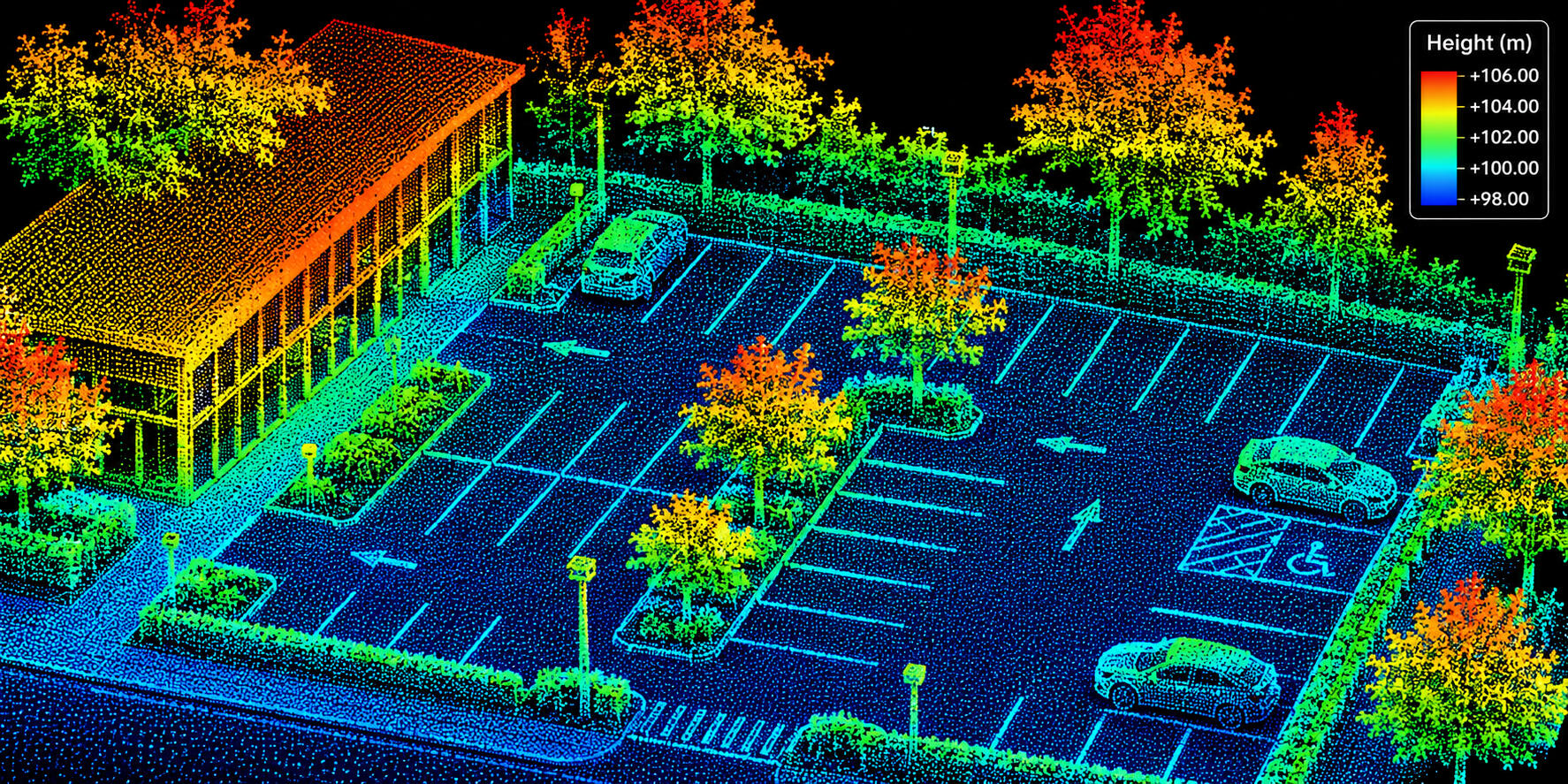
Document your site with high-precision laser scanning, capturing detailed 3D data of terrain, ground levels, structures and surrounding features. Obtain accurate point cloud information to support design, analysis and development projects.

Technical Expertise. Built for Precision.
Telephone: 03300 273230 | Email: [email protected]
© 2026 YellowLaab · All Rights Reserved.